Hydrogeology + Groundwater Resources
Location: Northwest Georgia
NAI provided water resource evaluations for three quarries in northwest Georgia.
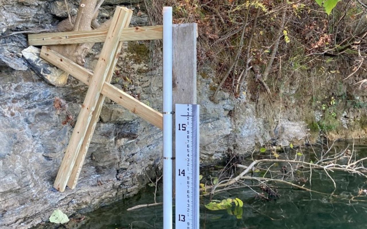
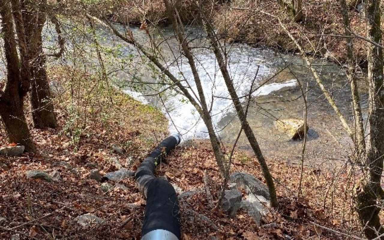
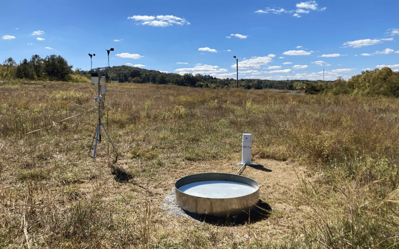
Three former flooded quarries were actively pumped for 30 days to evaluate their water resource potentials. A mass balance model was developed for each quarry pond to determine the groundwater contributions at different levels of drawdown in each. Onsite monitoring was accomplished utilizing shallow groundwater wells, nearby surface water and quarry pond stilling wells, an evaporation pan, a rain gauge, a weather station, and flow meter measurements from pumping the quarry ponds. Each quarry was a formerly mined for limestone / dolomite, so groundwater contributions averaged 1 to 1.5 million gallons per day for each pond.
Services Provided
NAI performed the following services to develop and support our mass balance model:
- Collected continuous groundwater levels and surface water levels using barometrically corrected transducer network.
- Developed a 3-dimensional model of the volume of each quarry pond per foot of elevation in the flooded portions of each quarry pond for the estimation of storage, precipitation to the pond, and evaporation from each pond.
- Managed drilling and quarry pond pumping contractors.
- Measured springs and nearby streams to inform our mass balance model.
- Developed graphs of potential withdrawal scenarios at various flow rates to the water resource development of each quarry pond. Each withdrawal scenario accounts for groundwater recharge that varies based on quarry pond drawdown.
Taking measurements of a quarry pond in Northwest Georgia. (image 1/3)
Pumping a quarry pond in Northwest Georgia. (image 2/3)
Worksite for NAI in Northwest Georgia. (image 3/3)


