- Delineation of Waters of the U.S. on site
- Federal and state threatened and endangered species survey
- Vegetative community and habitat surveys
- GIS resource mapping and planning
- Natural Resource Assessment Report
Client: PIKE Engineering
Location: Multiple Locations
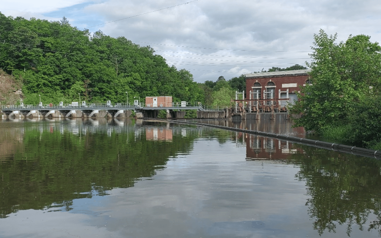
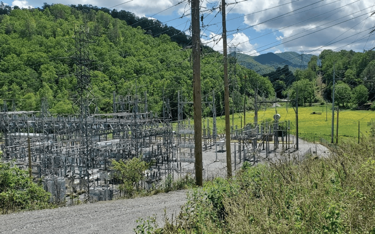
NAI staff led natural resource assessments and aquatic resource delineation along several electrical transmission line corridors in North and South Carolina:
Webster to Emory Transmission Line, Webster, NC to Franklin, NC
Lake Wylie Transmission Line, Tega Cay, SC to Charlotte, NC
Sevier Transmission Line, Greenville, SC
Nutter & Associates was contracted by PIKE Engineering to conduct natural resource assessments and aquatic resource delineations along several electrical transmission line corridors in North and South Carolina for the purpose of avoidance and minimization of natural resource impacts on transmission line upgrade projects.
Natural resource assessments and aquatic resource delineations include office Geographical Information System (GIS) reviews of potential jurisdictional wetlands and streams as well as database research of federal and state listed threatened and endangered (T&E) species with known presence near project corridors. Field surveys include pedestrian surveys of the entire transmission line corridors in remote areas and performing aquatic resource delineations and T&E surveys. All pertinent natural resource elements and aquatic resources are delineated in the field and recorded using sub-meter Global Navigation Satellite System (GNSS) antennas. Upon completion of field investigations, a Natural Resource Assessment Report is delivered to the client along with GIS mapped features detailing all natural habitats, presence of rare and T&E species, and aquatic resources throughout the study corridor. The final report also details all federal, state, and local natural resources permitting considerations.