 Spatial Data Collection and Analysis – Field data collection utilizing survey grade sub-meter and RTK centimeter-level GNNS units
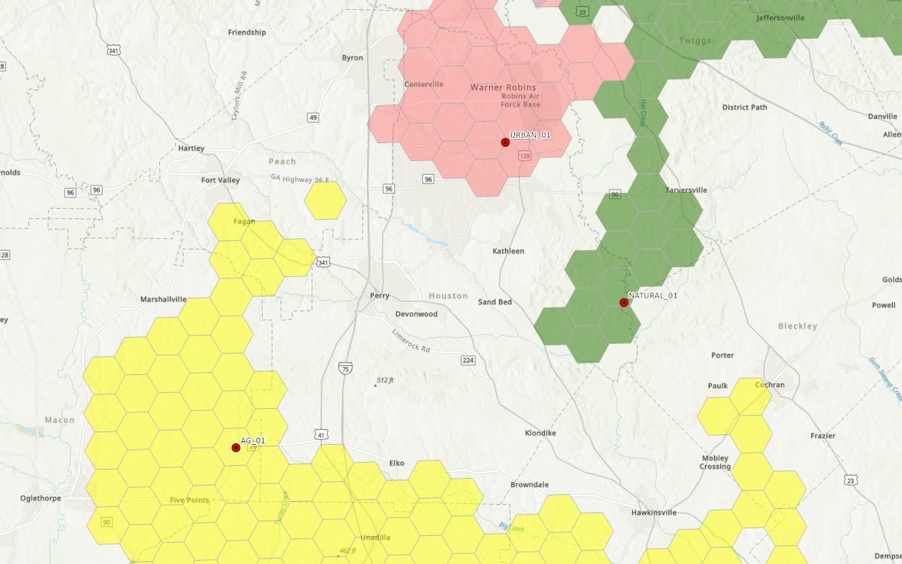
Field Mapping and Cartography – Full integration with ESRI ArcGIS Online based data collection and mapping workflows
Environmental Impact Assessments – Analyzing the potential environmental impacts of proposed projects by modeling scenarios and visualizing affected areas
sUAS surveying – Utilizing small unmanned aerial systems (“Drones”) for generating high resolution orthomosaic imagery and LiDAR-based elevation surveys
Site Suitability Analysis – Identifying and evaluating potential sites for projects based on environmental factors, regulatory constraints, and logistical considerations
Water Resource Management – Analyzing watersheds, floodplains, and groundwater resources using GIS to inform water quality studies, hydrological modeling, and stormwater management plans
Habitat and Ecological Mapping – Mapping and monitoring ecosystems, habitats, and wildlife corridors to support conservation efforts and regulatory compliance
Advanced Environmental Modeling – Developing spatial models to simulate environmental processes, such as pollutant dispersion, erosion, and habitat changes
Regulatory Compliance Support – Assisting clients in meeting environmental regulations by mapping regulatory boundaries, protected areas, and compliance zones
Geospatial Data Management – Storing, organizing, and maintaining geospatial data for easy access and analysis by project teams and clients.
Land Use and Land Cover Change Detection – Analyzing satellite or aerial imagery over time to detect changes in land use, vegetation cover, or urban development
LiDAR Data Processing – Analyzing LiDAR data to create detailed topographic models, vegetation mapping, and habitat analysis.
Hydrological Modeling – Simulating water flow and accumulation across a landscape to support flood risk assessment, watershed management, and stormwater planning


