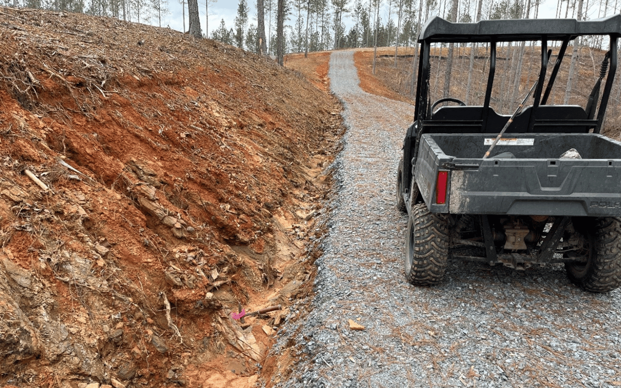
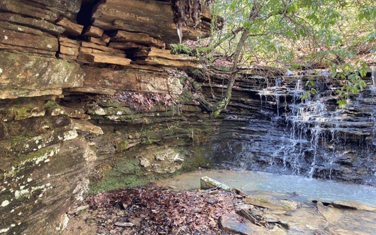
- Collected field data on the orientations of bedding, faulting, contacts, and joints.
- Investigated the local geology through online research, available reports, and well contractor interviews.
- Estimated potential well yields at various locations across each development.
- Mapped onsite features such as springs, regolith, rock types, and recharge areas.
- Performed lineament analyses using LiDAR, topographic maps, and satellite photos.
- Provided onsite mapping of rock types and outcrop measurements.
Hydrogeology + Groundwater Resources
Client: Residential Estate Lot Developments
Location: Northern Georgia and Eastern Tennessee
NAI provided groundwater resource evaluations for large developments.
The client needed to provide homeowners with an evaluation of the groundwater potential for large developments in northern Georgia and eastern Tennessee.


